
3-4 inches of rain expected in Middle Tennessee Wednesday
A cold front brings heavy downpours that may cause flash floods west of Interstate 65 while offering limited relief to the ongoing regional drought.
By Carlos Rousseau ·
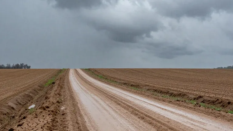
Middle Tennessee residents can expect significant rainfall on Wednesday as a cold front moves through the region. The National Weather Service has flagged a low risk of localized flash flooding, particularly for communities situated west of Interstate 65.
The weather pattern raises two distinct issues for the area. First, the intensity of the downpour may overwhelm local drainage systems. Second, the rain may not be enough to reverse the weeks of dry conditions that have gripped the region.
According to the U.S. Geological Survey, thunderstorms can drop large volumes of water in a short time. If the ground cannot absorb that water quickly enough, the excess flows into drainage channels and streams. This rapid runoff is the primary driver of flash flood risks during such events.
The ability of the soil to absorb water depends on several factors. The National Integrated Drought Information System notes that soil type, vegetation cover, and current weather conditions all influence how much rain soaks in versus how much runs off. Dry soil does not automatically mean higher flooding risks, but the balance between rainfall intensity and ground capacity is critical.
Meteorologists note that steady, soaking rain is more effective for drought relief than brief, heavy bursts. This type of rainfall allows water to penetrate the ground and replenish groundwater supplies. Wednesday’s rain may provide some immediate moisture, but it will not end the prolonged drought on its own.
Experts indicate that it will take multiple soaking rain events spread over several months to fully restore groundwater levels. Until then, the region remains in a state of partial drought, with farmers and residents monitoring soil moisture closely to manage the competing risks of dry land and sudden flooding.