Indianapolis Weather Turns Cold and Windy by Thursday
A shift in the pattern brings rain, gusty winds, and the potential for the first snow of the season to the state by Saturday.
By Carlos Rousseau ·
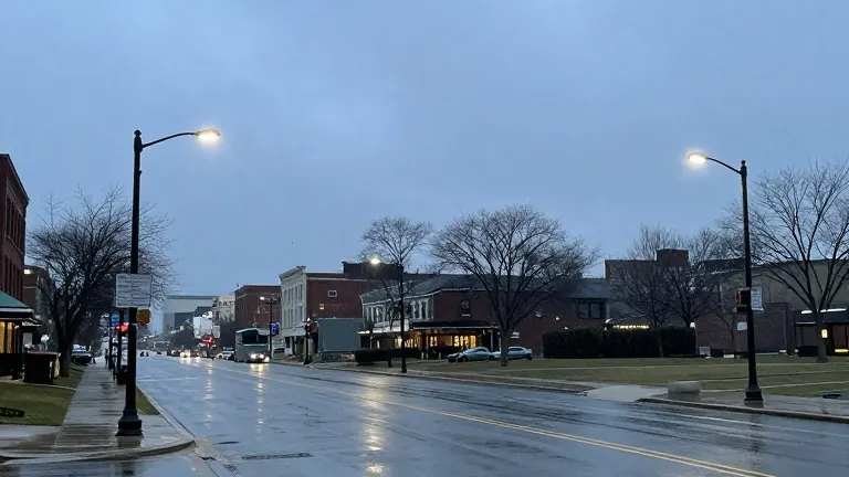
Mild temperatures will hold steady in Indianapolis through Wednesday, but a sharp turn in the weather is on deck for the remainder of the week. The region faces colder, windier conditions, with the possibility of the first snowflakes of the season appearing by Saturday.
Daytime highs are projected to reach the middle 60s on Tuesday. By Wednesday, increasing clouds will accompany afternoon rain showers and isolated thunder. Overnight lows will drop into the 40s as winds begin to pick up.
Thursday marks the arrival of the colder air mass. Residents can expect scattered showers and highs ranging from the 40s to 50. Breezy conditions will persist, and wind chill factors will drop into the 20s during the early morning hours.
Light snow showers are possible across the region on Thursday night, particularly in areas downwind of the Great Lakes. Central Indiana is not expected to see significant accumulation from this activity. Friday will remain cold and breezy, with highs in the lower 40s. Rain and snow showers may linger in northwest Indiana, potentially mixed with ice pellets.
These conditions will coincide with Friday night high school playoff football games, which will feature wind chills in the 20s. High pressure is set to move into the area over the weekend, bringing mostly sunny skies. Temperatures will remain chilly, with highs in the 40s and lows in the 20s and 30s.