Cold Front Brings Rain and Hard Freeze to Middle Tennessee
After a dry Monday and Tuesday, precipitation arrives Wednesday night, followed by overnight lows in the 20s over the weekend.
By Rafael Bailey ·

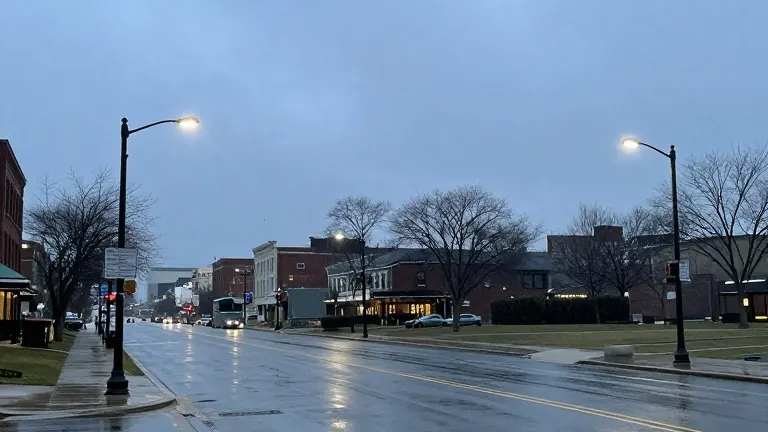
Rain is on track to reach the Middle Tennessee region by Wednesday evening, ending a brief stretch of dry weather.
Monday and Tuesday will remain mostly sunny. Afternoon highs are expected to reach the upper 60s and approach 70 degrees. Cloud cover will build from the northwest as a weather system approaches. Most of Wednesday should stay dry, but precipitation probabilities will rise during the evening hours. A cold front will drive this rain into the overnight period.
Forecasters note that while some thunderstorms are possible, widespread severe weather is not anticipated. The primary window for rainfall spans from Wednesday night through early Thursday morning. Showers will likely exit the region by Thursday morning as the front moves east. Lingering showers may persist in northeastern Middle Tennessee, but widespread accumulation is not expected.
The temperature drop following the rain will be sharp. Highs in the upper 60s and near 70 degrees on Wednesday will fall to the 50s by Thursday. Friday afternoon highs are projected to remain in the 40s for many locations.
The coldest temperatures will occur during the overnight hours. Most areas in Middle Tennessee are expected to see lows in the 20s on Saturday and Sunday mornings. This drop creates the potential for the region's first hard freeze of the season.